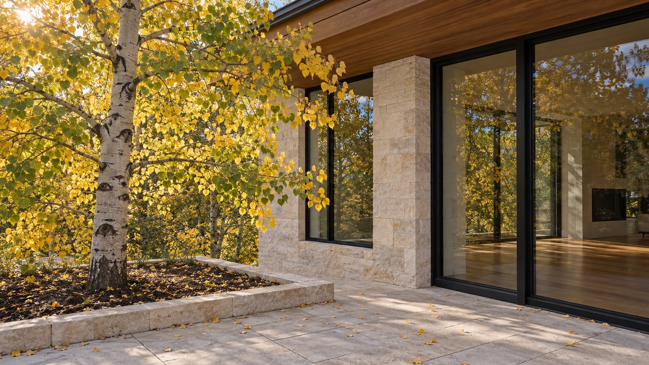
Walk the sign posted 0.4 miles up Ute Avenue, headed east out of downtown, and this week the switchbacks above it are still doing something the statewide fall color models already called finished. Overhead, the aspens lining the climb toward Ute Rock are holding gold, not bare branches. Down along the river, where the East of Aspen Trail runs its flat course out to the dead end at Wildwood Lane, the same is true. Meanwhile, plenty of East Aspen neighbors were on foot September 26 for an entirely different reason: the Golden Leaf Half Marathon ran straight through the valley—not a foliage drive up a pass, but a race through it.
That gap between what the regional forecast says and what the trail right outside the door is actually doing is not a coincidence. It is a measurement problem. The forecast that lumps this town into a single two-week window was built to help someone in Denver decide which weekend to book a hotel. It was never built to describe a town that climbs more than 4,000 vertical feet from the Roaring Fork to the top of Aspen Mountain, all inside the same zip code.
One Forecast, Two Very Different Elevations
The statewide color forecast this season places Aspen in its earliest band, running September 10 through 23, grouped with Leadville, Crested Butte, and the Collegiate Peaks. That's a defensible call for the parts of this valley that actually sit at the elevations those places share. Independence Pass tops out at 12,095 feet. Aspen Mountain's summit sits at 11,212 feet. Cold hits those elevations first, the shortened days trigger the color change earlier, and the leaves drop faster once they've turned. If your only frame of reference is the top of the gondola or the crest of the pass, the season is indeed over.
But East Aspen's most walked trails don't start at the top. They start along the river, a few hundred feet above the valley floor, and a separate accounting of the season here notes that downtown Aspen and the valley floor consistently run behind the high country, often not landing at their own peak until very late September into the first days of October. That's not next week. That's this week, right now, on the exact trails East Aspen residents use to get out the door after work.
The Walk That Only Works Right Now
Start at the Ute Avenue trailhead sign, 0.4 miles up the road heading east, and there are effectively three ways to spend the color while it lasts.
- The steep push. From the sign, it's 0.9 miles of steady switchbacks and 1,000 vertical feet up to Ute Rock, a granite outcropping with a view back over town. This section climbs fast enough that it's already brushing into the elevation band where color turns earlier, so treat this one as a race against the calendar rather than a leisurely stroll.
- The flat river walk. The paved Ute Avenue Trail runs 2.5 miles and threads together Glory Hole Park, the Wheeler Ditch Trail, Ajax Park, the Ute Mesa Trail, Ute Cemetery, Ute Park, the base of the Ute Trail itself, the Aspen Club & Spa, and the start of the East of Aspen Trail. It's flat, it's paved, and it stays low enough in elevation that it's still holding color well after the passes above it have dropped.
- The out-and-back to Wildwood Lane. From the same trailhead, the East of Aspen Trail merges briefly onto the Aspen Club Trail before running its own course along the banks of the Roaring Fork, through meadowland that opens up after the first stretch of town views, ending at a junction with Wildwood Lane. From there, it's a turnaround walk back the way you came, all of it close enough to the river that the color here is running on valley-floor time, not high-country time.
Along the paved stretch, the walk also passes Ute Cemetery, one of the valley's pioneer burial grounds, tucked into the same corridor as the rest of the trail network. It's easy to miss at a jog and worth the thirty extra seconds at a walk.
The Bus Still Goes Where the Color Still Is
For a version of this that doesn't require circling back to a parked car, the free Hunter Creek Bus runs from Rubey Park downtown out to the Hunter Creek trailhead, where a lower loop follows the creek through the same valley-floor elevation band as the East of Aspen Trail. Drivers can reach the same lot by heading north on Mill Street, veering onto Red Mountain Road, following it 1.1 miles to Hunter Creek Road, and turning right into the parking area.
The upper section of that same trail system climbs to elevations between 8,900 and 10,400 feet, high enough that it likely finished its color change on close to the same schedule as Independence Pass, passing through alpine meadows scattered with old homestead cabins on the way. The lower loop most East Aspen residents actually use on a weeknight sits much closer to the river, in the same lagging band as the rest of this week's walk, which is exactly why it still has something to show.
A Window That Closes Fast
None of this holds for long. The same mechanism that already stripped color from Independence Pass and the top of Aspen Mountain, cold nights and shortening days, is working its way down to the valley floor too, just on a delay measured in days. Whatever gold is currently overhead on Ute Avenue and along the river toward Wildwood Lane is running on borrowed time.
If a question about how East Aspen actually moves through its own calendar, not just this week's walk but how the neighborhood holds up across every season, ever turns into something more concrete, Jamay Shook is easy to reach for a private conversation.